A Trazo we love
Open this loop in Trazo
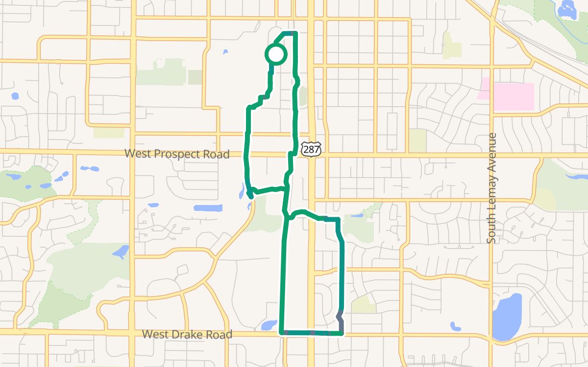
CSU, the Mason Trail and Spring Creek
A 4.6-mile loop that starts and ends at CSU (the Oval), about 25 minutes at an easy pace, 100% off busy roads. The longest stretches are on Mason Trail (1.9 mi), Spring Creek Trail (0.5 mi). All paved.
4.6 miloop
~25 minat 11 mph
100%off busy roads
73%on trails and paths
↑ 220 ftclimb
○ Start and finish: CSU (the Oval)
Trail or pathBike laneQuiet streetBusy road
Climb along the loop: ↑ 220 ft in all
Along the way
Drinking waterCaféBike repairBike rental
The way
- Mason Trail1.5 mi
- Remington Bikeway North (Mathews Street)0.7 mi
- unnamed path0.3 mi
- Mason Trail0.8 mi
- unnamed path1.2 mi
Crossings
No crossings of a busy road without a traffic light.
More Trazos we love
Fossil Creek Trail loop (5.7 mi)New Belgium and the Poudre River Trail (6.0 mi)Rolland Moore and the Spring Creek Trail (7.3 mi)City Park and the Spring Creek Trail (10.4 mi)All loops →
Loops are computed from OpenStreetMap data with Trazo's traffic-stress rating (With kids). They're guidance, not a guarantee: conditions change, so verify safety yourself and ride to what you see. Opening the loop in Trazo recalculates it live, with turn-by-turn directions.