Bike rides with kids in Salt Lake City
These 5 rides in Salt Lake City, Utah, never cross a busy road without a traffic light. They run 2.9 to 4.2 miles, about 29 to 42 minutes at a child's pace of 6 mph, and four of them pass a public playground. Three ride a short stretch of busy street and one runs on a sidewalk beside traffic; each ride says where.
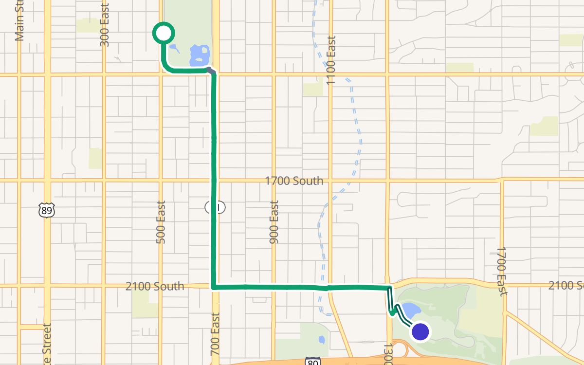
Liberty Park to Sugar House Park
A 2.9-mile one-way ride from Liberty Park to Sugar House Park, about 29 minutes one way at 6 mph, 90% on trails and paths, all paved, with 233 feet of climbing. A playground at Sugar House Park (the end). No restrooms mapped on the way; drinking water at miles 0.4 and 2.2.
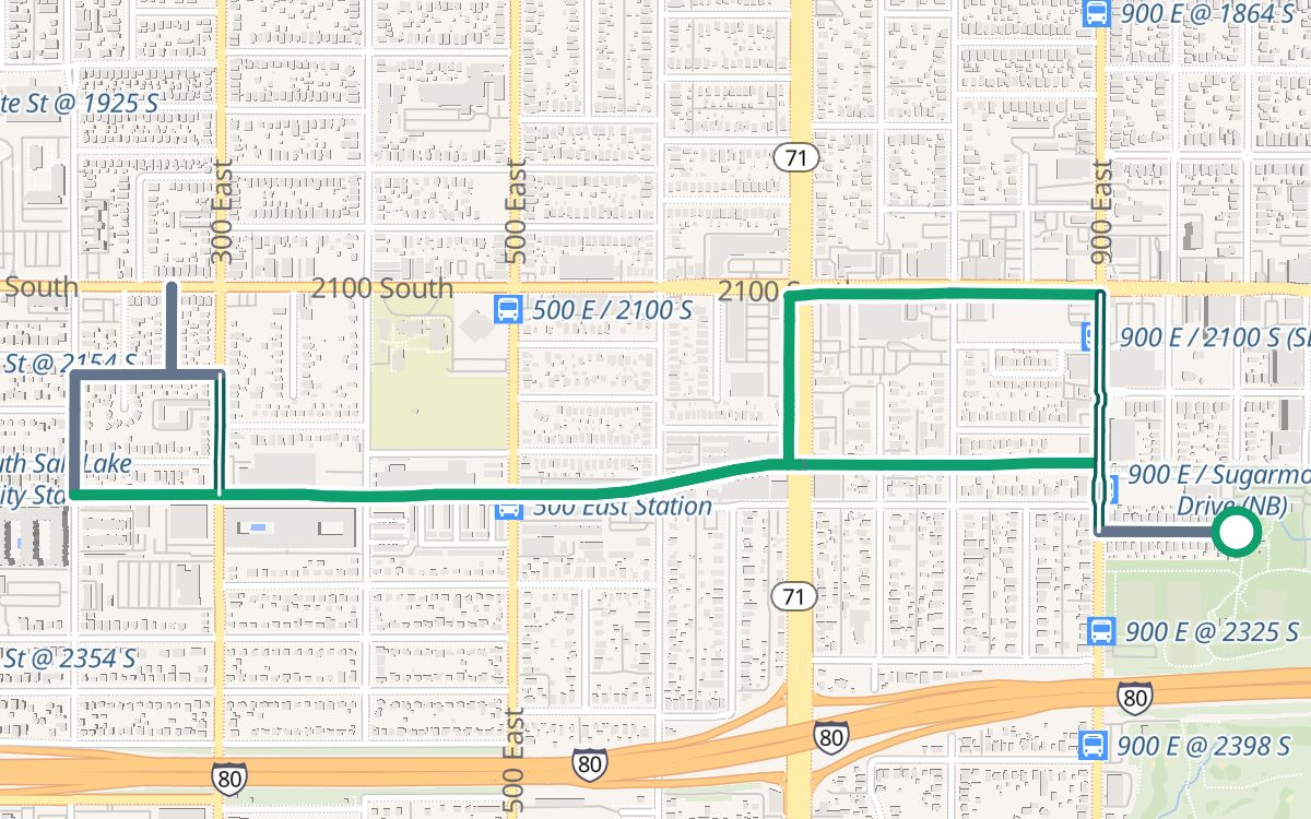
Fairmont Park, the S-Line and Parley's Trail
A 3.3-mile loop from Fairmont Park, about 33 minutes at 6 mph, 65% on trails and paths, all paved, with 131 feet of climbing. A playground at Fairmont Park (the start). Restrooms at the start; no drinking water mapped on the way. The nearest parking lot is about 500 feet from the start.
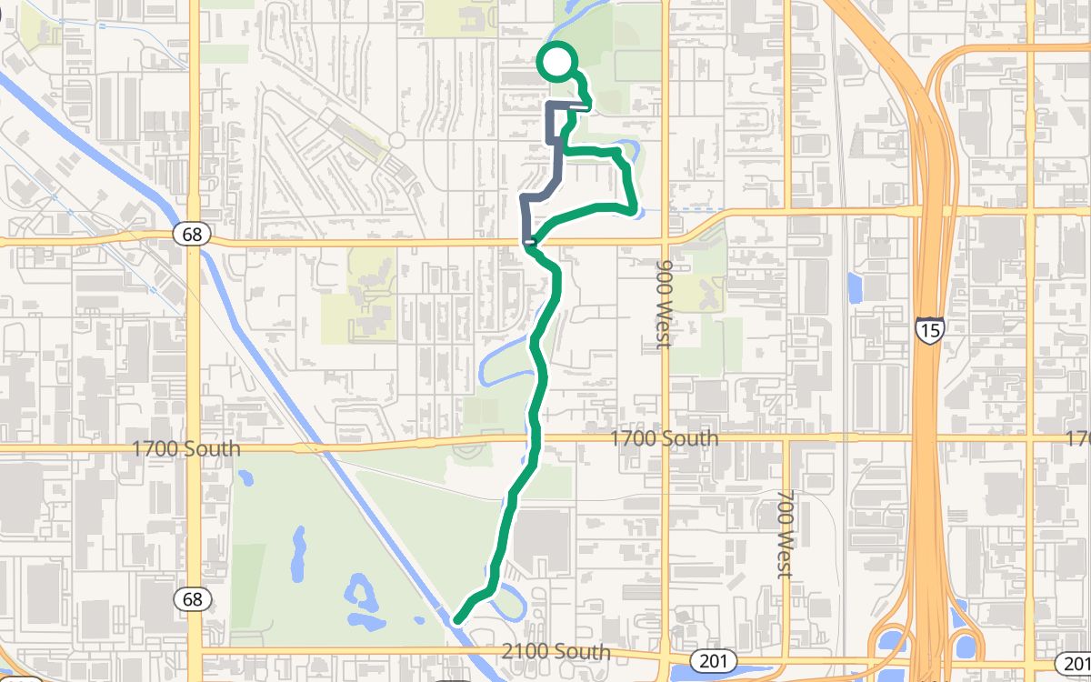
Jordan Park and the Jordan River Parkway
A 3.7-mile out-and-back ride from Jordan Park, about 37 minutes at 6 mph, 85% on trails and paths, all paved, with 102 feet of climbing. At mile 3.0 it rides about 80 feet on California Avenue. A playground at Modesto Park (mile 0.5). No restrooms mapped on the way; drinking water at miles 0.1 and 0.8. The nearest parking lot is about 50 feet from the start.
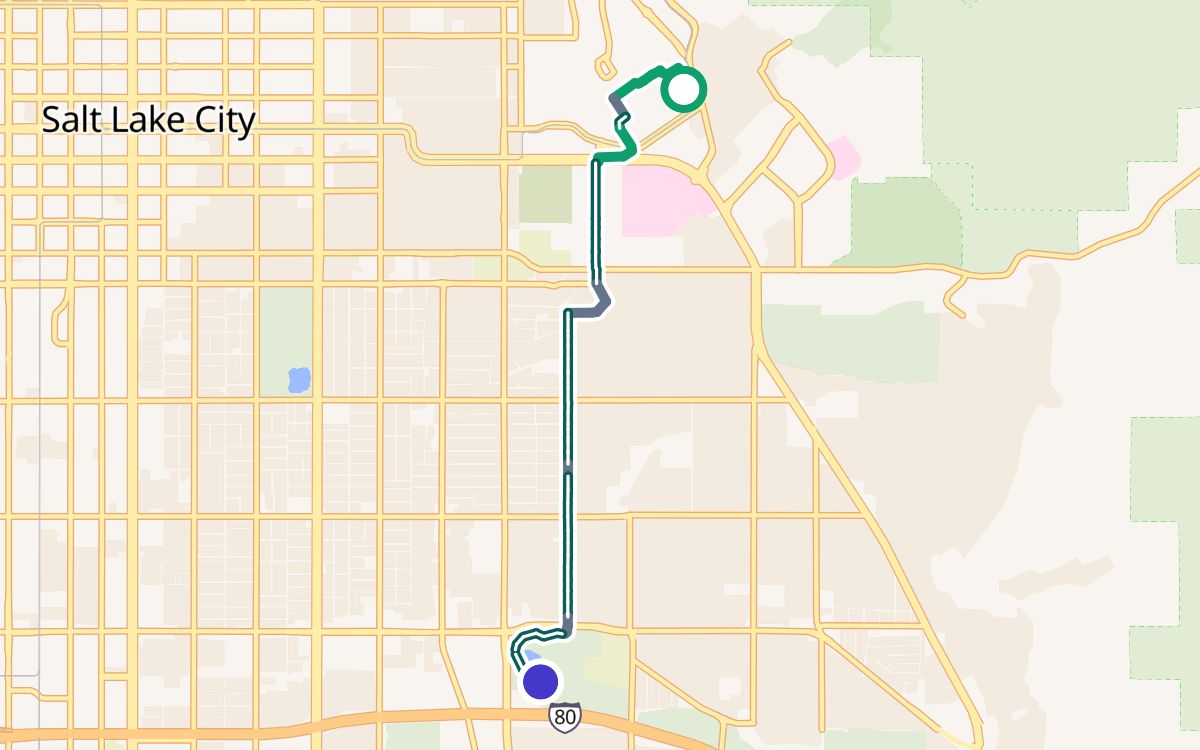
University of Utah to Sugar House Park
A 4.0-mile one-way ride from the University of Utah to Sugar House Park, about 40 minutes one way at 6 mph, 24% on trails and paths, all paved, with 92 feet of climbing. From mile 0.6 it rides 0.3 mi on the sidewalk or side path along Campus Center Drive, beside traffic with driveways and side streets: go slowly there. At mile 1.0 it rides about 30 feet on Guardsman Way. A playground at Sugar House Park (the end). No restrooms mapped on the way; drinking water at mile 3.6.
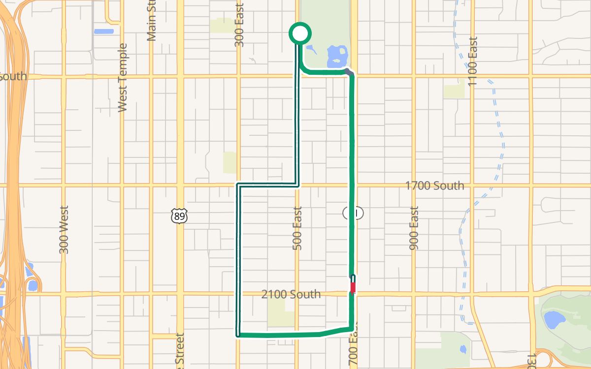
Liberty Park and the 700 East path
A 4.2-mile loop from Liberty Park, about 42 minutes at 6 mph, 54% on trails and paths, all paved, with 144 feet of climbing. At mile 1.5 it rides about 450 feet on 700 East. At mile 1.6 it rides about 40 feet on 2100 South. No restrooms mapped on the way; drinking water at mile 0.4. The nearest parking lot is about 450 feet from the start.
How we picked these
Every ride here never crosses a busy road without a traffic light. None rides more than about 500 feet on a busy street or in a painted bike lane beside fast traffic, and where one does, its line says where: walk those bits with little ones. Busy roads are fast or multi-lane traffic with no bike lane, from OpenStreetMap and Trazo's traffic-stress rating. Times are at a child's pace of 6 mph. Playgrounds, restrooms and water are public ones in OpenStreetMap within about 200 feet of the ride; a playground in the park where a ride starts or ends counts within about 500 feet. Playgrounds on school or daycare grounds, and anything inside a zoo or other paid grounds, are left out.
Guidance only; verify safety yourself, and stay close to young riders at every crossing, even with a light. Map data © OpenStreetMap contributors.