Biking in Tucson: common questions
What is The Loop in Tucson?
The Chuck Huckelberry Loop is more than 130 miles of paved paths along the Rillito and Santa Cruz rivers, the Pantano and the Julian Wash, shared by people biking, walking and running. Joined up, the main circuit around the city is about 54 miles. Pima County has an official page and map.
What are some good bike rides in Tucson?
Try a loop that ends where it began, almost entirely off busy roads, from a short park loop to a long ride on The Loop. All six are on Trazos We Love.
Where can I bike with kids in Tucson?
These short loops stay on paths and quiet streets, with no busy road to cross without a light. In the Trazo map, choose "With kids" and any route you plan sticks to trails and avoids busy roads almost entirely.
Is Tucson good for biking?
Tucson has The Loop and a set of bike boulevards on quiet streets, like 3rd Street past the University of Arizona. The catch is getting to them: many main roads are wide and fast. Trazo plans routes that use the calm pieces and marks the crossings without a light.
How do I bike around the University of Arizona, 4th Avenue and Reid Park without busy roads?
These rides between places people go are almost entirely off busy roads, and each opens in Trazo with one tap. For any other start or finish, plan it in the map.
Does Trazo cover Oro Valley and Marana?
Yes. The Tucson map runs from Marana and Oro Valley in the north to the south side of Tucson, and from the Tucson Mountains east to Sabino Canyon, so a ride on The Loop between them plans as one trip.
Is Trazo free? Do I need to download an app?
Trazo is free, with no account and no ads. It runs in your phone's browser, and you can add it to your home screen like an app. It covers Tucson, Oro Valley and Marana, plus other areas in Colorado, Utah and the Carolinas.
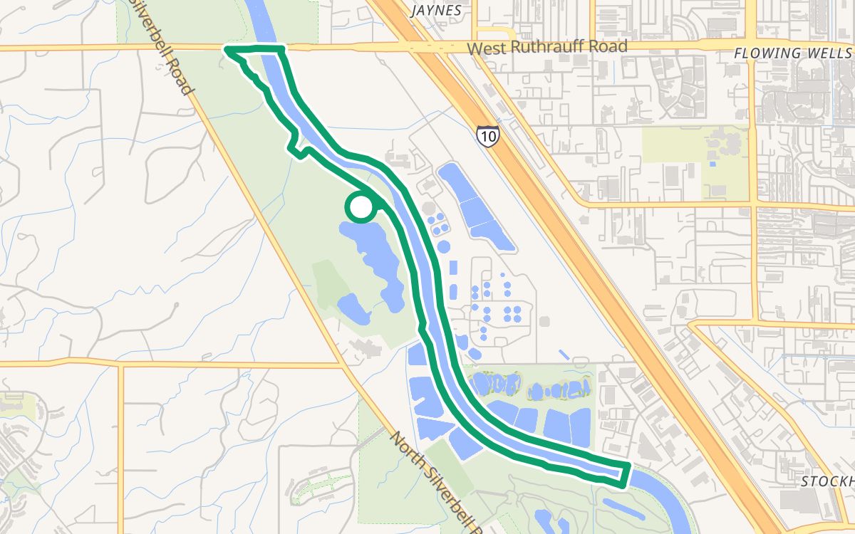 Christopher Columbus Park on The Loop4.3 mi · 100% off busy roads · ↑ 52 ftWith kids
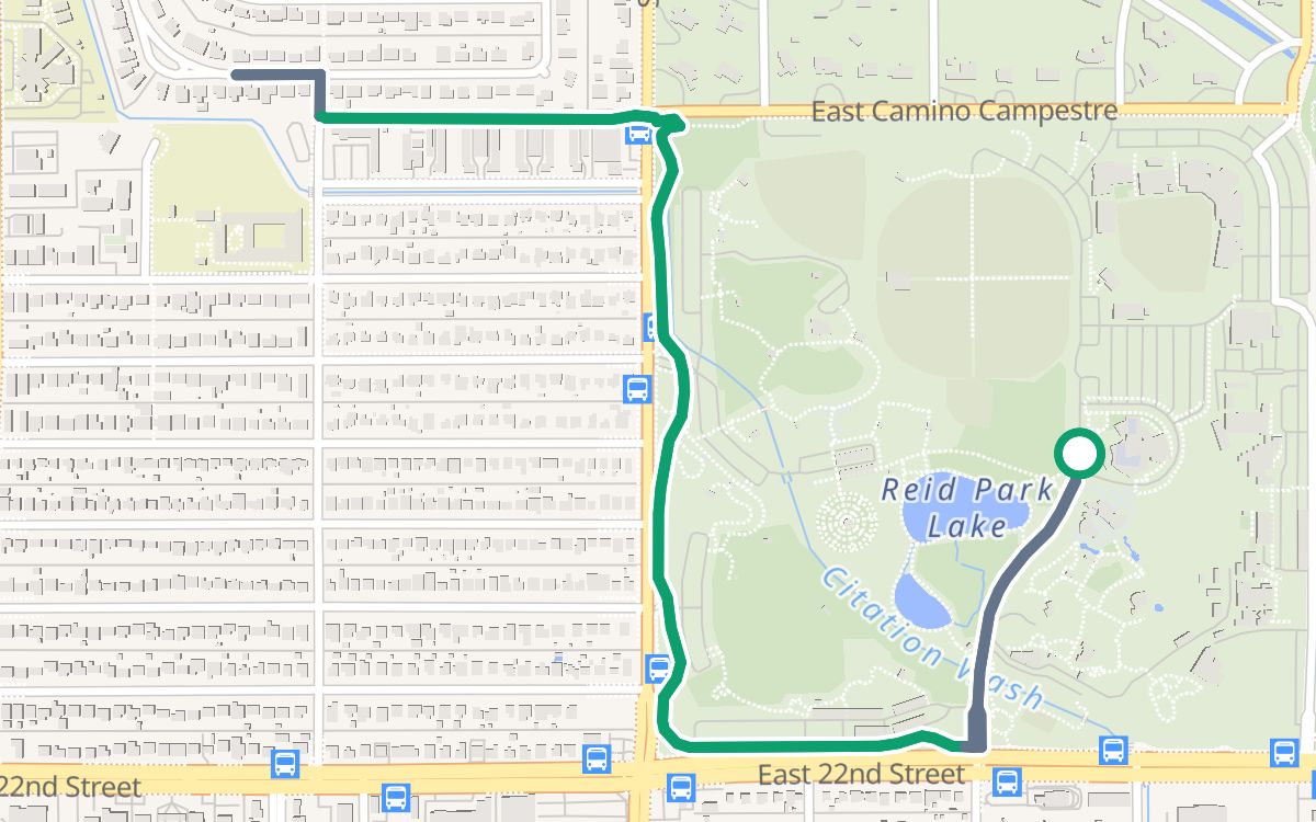 Reid Park and the Arroyo Chico Greenway2.7 mi · 100% off busy roads · ↑ 82 ftWith kids
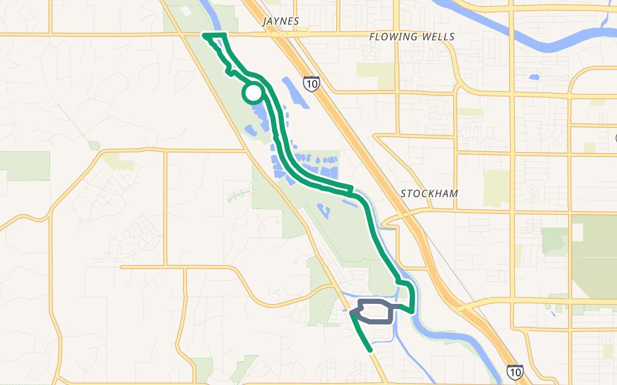 Columbus Park south on the Santa Cruz River Path8.8 mi · 100% off busy roads · ↑ 161 ftEasy and paved
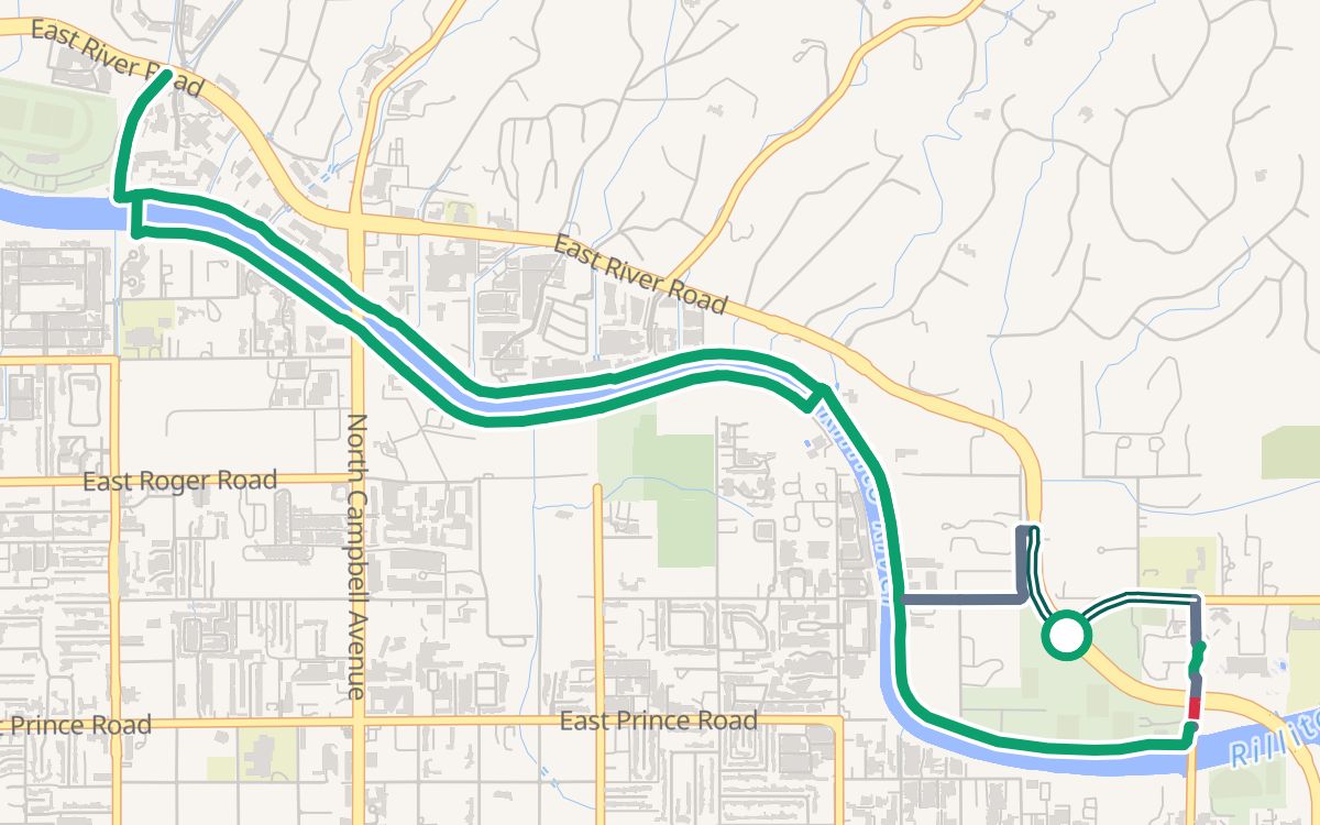 Brandi Fenton Park and the Rillito River Path6.9 mi · 99% off busy roads · ↑ 223 ftEasy and paved
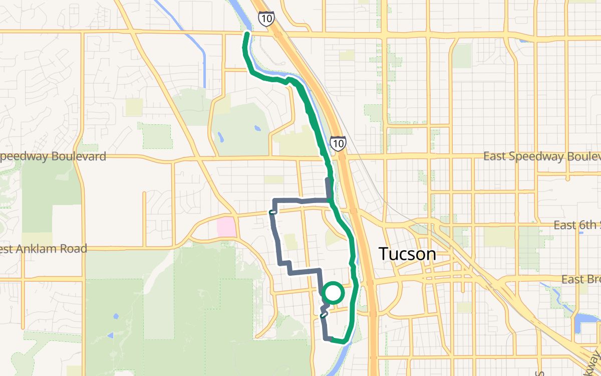 Mercado San Agustín and the Santa Cruz7.2 mi · 100% off busy roads · ↑ 305 ftEasy and paved
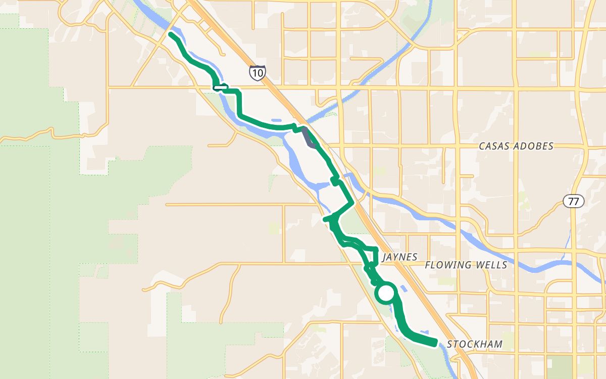 North from Columbus Park on The Loop18.1 mi · 100% off busy roads · ↑ 308 ftLonger rides
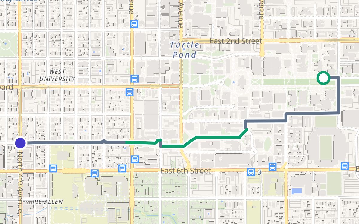 University of Arizona to 4th Avenue1.3 mi · 100% off busy roads
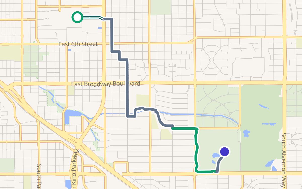 University of Arizona to Reid Park3.6 mi · 100% off busy roads
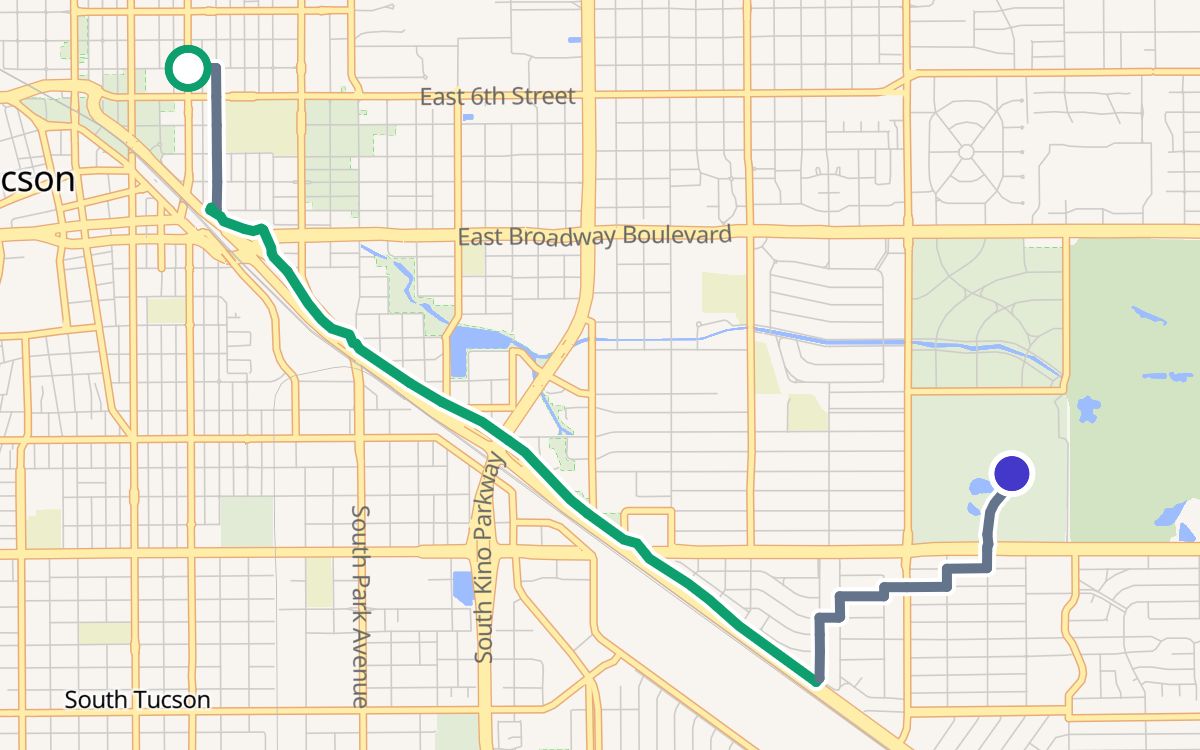 4th Avenue to Reid Park4.3 mi · 100% off busy roads
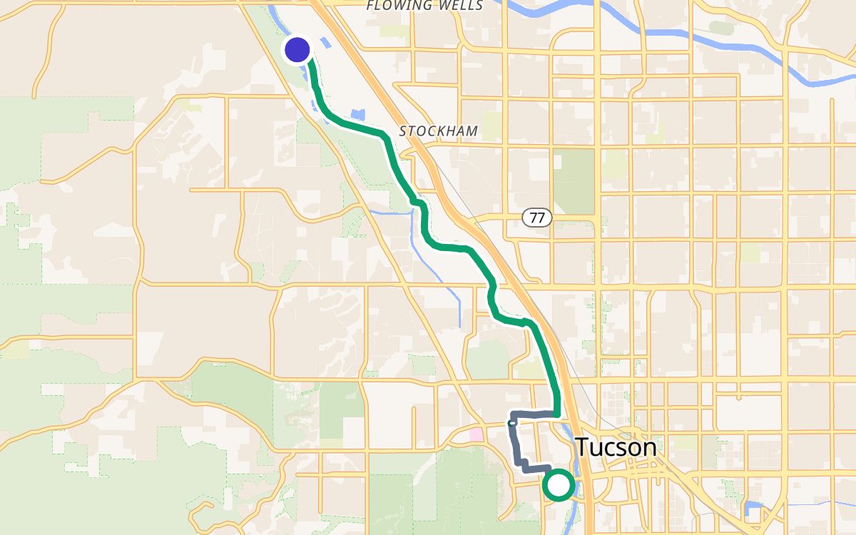 Mercado San Agustín to Christopher Columbus Park7.2 mi · 100% off busy roads