Bike from Downtown (City Creek Center) to Sugar House Park
Trazo's Relaxed route is 5.4 miles, about 29 minutes at an easy pace, and 100% of it stays off busy roads. The longest stretches are on 700 East Multi-Use Path (1.1 mi), 9 Line Trail (0.3 mi). All paved.
5.4 midistance
~29 minat 11 mph
100%off busy roads
58%on trails and paths
↑ 322 ftclimb
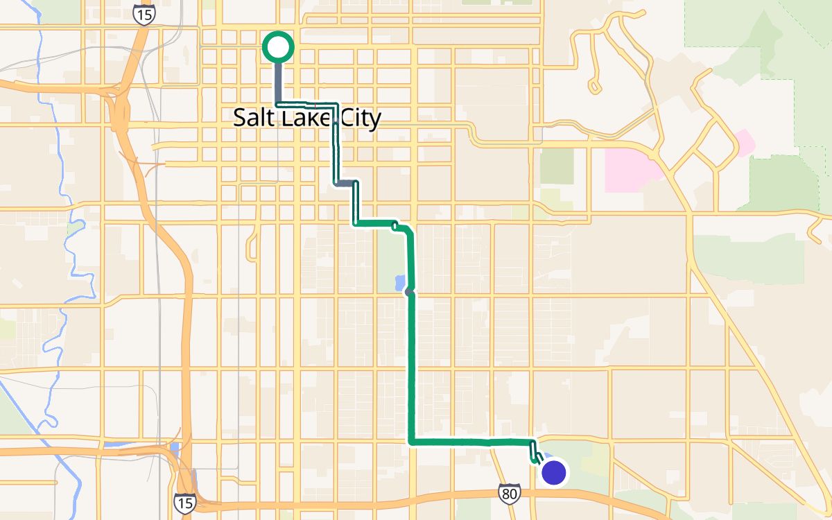
○ Downtown (City Creek Center)● Sugar House Park
Trail or pathBike laneQuiet streetBusy road
The way
- Main Street0.1 mi
- Cycle The City (Main Street)0.3 mi
- 300 South0.4 mi
- 300 East0.3 mi
- Cycle The City (300 East)0.1 mi
- 300 East0.2 mi
- 700 South Neighborhood Byway (700 South)0.1 mi
- 400 East0.3 mi
- 9 Line Trail0.3 mi
- unnamed path0.7 mi
- 700 East Multi-Use Path1.1 mi
- unnamed path1.1 mi
- Sugarhouse Park West Road0.2 mi
Crossings
Watch for: one crossing of a busy road with no traffic light: an unnamed busy road. Trazo flags it on the route too.
More calm routes in Salt Lake City
Downtown (City Creek Center) to Liberty ParkDowntown (City Creek Center) to Jordan ParkLiberty Park to Sugar House ParkUniversity of Utah to Sugar House ParkAll calm routes →
Routes are computed from OpenStreetMap data with Trazo's traffic-stress rating. They're guidance, not a guarantee: conditions change, so verify safety yourself and ride to what you see. Opening the route in Trazo recalculates it live, with turn-by-turn directions.