Neuse River Trail from Anderson Point Park
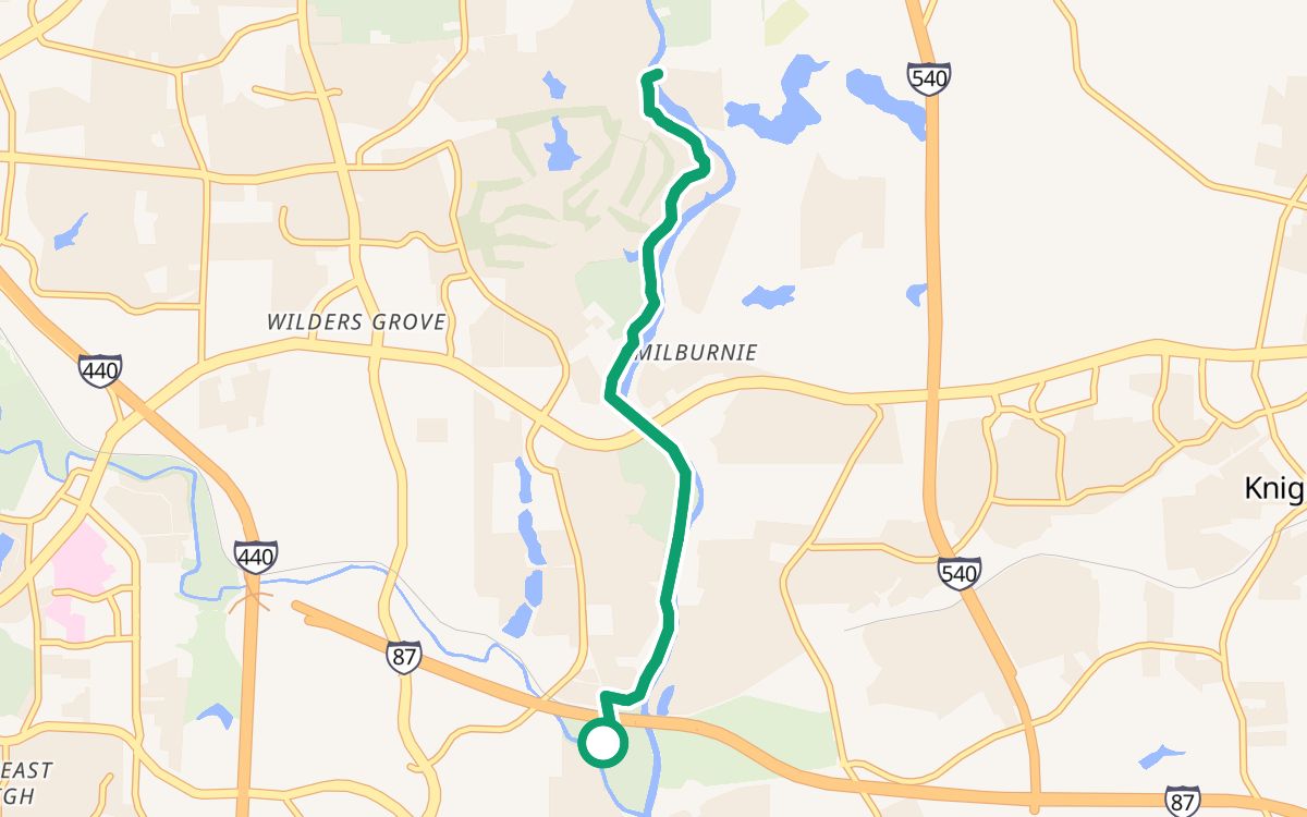
Neuse River Trail from Anderson Point Park is an 8.0-mile out-and-back bike ride in Raleigh, North Carolina, that starts and ends at Anderson Point Park. It takes about 54 minutes at an easy pace and stays 100% off busy roads, with 100% on trails and paths.
8.0 miles, about 80 minutes at a child's pace, 100% on trails, and Trazo detected no busy road to cross without a traffic light.
About this ride
From Anderson Point Park, the ride follows Neuse River Trail out, turns around at mile 4.0, and comes back the same way. It is 8.0 miles with 213 feet of climbing, so it is gently rolling; plan about 54 minutes at an easy 9 mph, or about 1 hour 20 minutes at a child's pace of 6 mph. 100% of it is on trails and paths and 100% is off busy roads. All paved.
Trazo found no risky busy crossings on this ride. Near the start, OpenStreetMap shows restrooms about 220 feet away. OpenStreetMap shows no restrooms, drinking water or bike stops on the ride itself. The nearest parking lot is about 550 feet from the start; check its signs for fees or permits.
Restrooms, water and stops
- Restrooms near the start, about 220 ft away
None mapped on the ride itself (OpenStreetMap).
Street by street
- Neuse River Trail8.0 mi
Turn around at mile 4.0, on Neuse River Trail, and come back the same way.
Short connecting bits are folded into the row next to them, so a row can read a little longer than the trail itself. Named busy streets keep their own row.
Busy crossings without a light
Trazo detected no busy road to cross without a traffic light.
More bike loops in the Triangle
Computed from OpenStreetMap with Trazo's traffic-stress rating. Busy roads: fast or multi-lane traffic with no bike lane. Guidance only; verify safety yourself.