Trazo is a free bike route planner that favors trails, bike paths and quiet streets. Ark Birger started it in Fort Collins, Colorado, and Arkalogy LLC operates it. It plans routes in 9 areas across 7 states, in the browser on your phone or computer.
Last updated November 6, 2026
Why Trazo exists
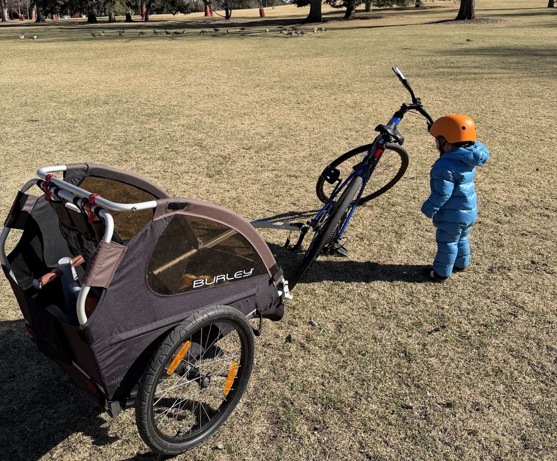
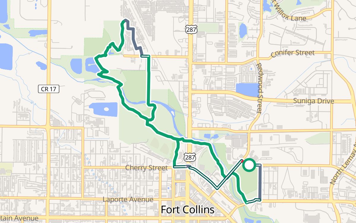
Once my son was old enough for a bike trailer, I couldn't wait to get out on the bike with him, on the bike trails here in Fort Collins, and especially my favorite, the Poudre River Trail. Before long he was riding shotgun too.
My son and our bike trailer at the park.
The hard part was getting there. The quickest way from our house runs along a big road: two lanes each way, with semis. I wasn't taking my kid on that, and Google kept sending us down the main roads anyway.
So for a while we loaded the bike and trailer onto the car and drove to the trail. That's a lot of gear to load up for a few miles' drive. Scouting a quieter way by car, street by street, wasn't much easier.
I knew it couldn't just be me. Some of my friends who ride avoid being next to traffic like the plague, and I'm sure plenty of other people feel the same. We needed a map that strings together the trails, bike paths and quiet streets, so I built one.
I'm Ark, and that map is Trazo. Now we often leave the car at home and ride from our own front door.
The name came last. The app mostly worked by the time I went looking for a domain, and every good name with bike or map in it was taken. I had no interest in fighting the big guys for their own words, so I went looking in other languages.
Trazo is Spanish for a line, the kind you draw with a pen. That's all this app really does: it draws a line on a map. It just tries to draw a better one.
What Trazo does
🚦 Rates streets and paths
Every one it routes on, from 1 (low stress) to 4 (very high stress), using OpenStreetMap data.
🛣️ Plans around busy roads
A-to-B routes that may go farther to use fewer busy roads.
🔁 Builds loops
Pick a start and a distance, and it plans a route that brings you back to where you began.
⚠️ Marks busy crossings
Spots where a route crosses a busy road with no light. It can miss some, so look the route over.
🧒 Has a With kids rider profile
Favors trails and paths, and uses quiet streets to link them. Our guides list rides for Fort Collins and Salt Lake City, with more coming as we build and check them.
🧭 Gets you there
Turn-by-turn directions on your phone, right in the browser. You can add it to your home screen.
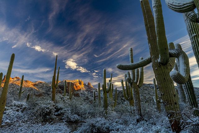
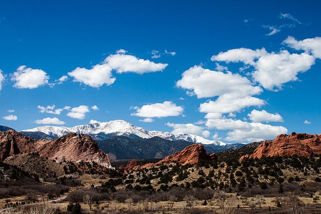
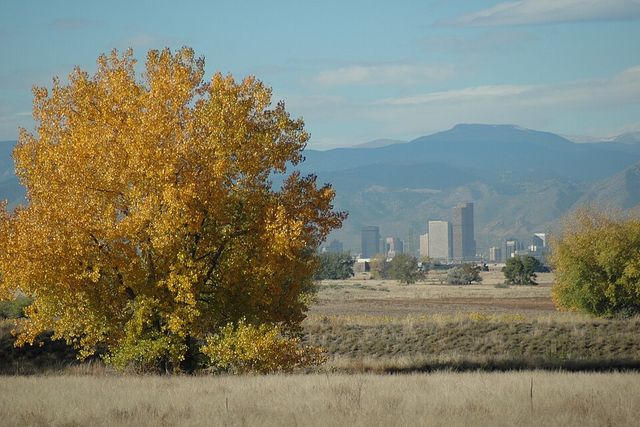
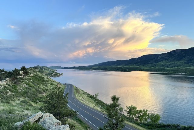
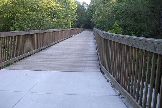
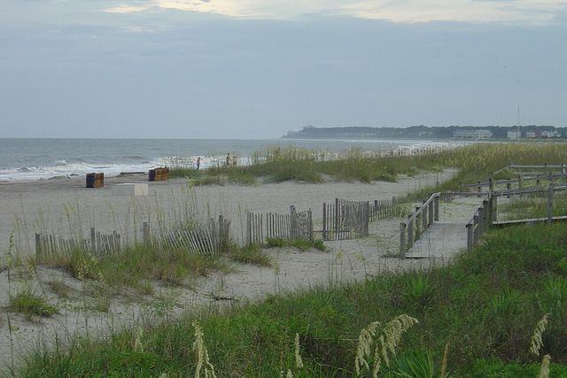
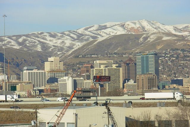
The Fort Collins photo is ours. Denver skyline by Rich Keen / DPRA for the U.S. Fish and Wildlife Service, and Tucson from the NOAA Photo Library, both CC BY, cropped. The others are free to use, from Wikimedia Commons.
Is Trazo free?
Yes. Trazo is free to use right now, and you don't need an account. The terms say that may change. There are no ads today.
What about my privacy?
You can use Trazo without an account. We record how the app gets used, tied to a random ID in your browser, not your name. That isn't fully anonymous, but we don't build a profile of where you go.
We use it to improve Trazo and to support local advertising: we may share totals with sponsors, like how many riders plan routes near them, never a profile of one rider. The privacy policy has the details.
What Trazo doesn't do yet
It only plans routes in the areas above. If yours isn't there, open the map, search for your town and request it.
There's no app-store app. It runs in the browser.
It can't see everything on the ground, like a closed path or today's construction. The full list is under what the rating can't see.
Found a wrong route?
Tap Feedback in the app, or email [email protected]. We read every report. We can't ride every street ourselves, so riders telling us where the map is wrong is how it gets better.