Shields Park to Washington Street
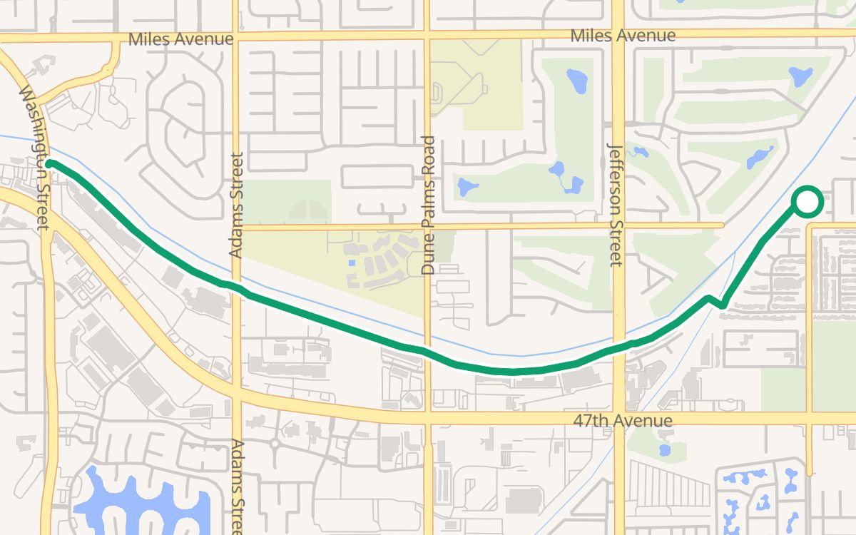
The ride from Shields Park to Washington Street is a 4.7-mile out-and-back bike ride in Indio and La Quinta, California, on CV Link. It takes about 25 minutes at an easy pace and stays 100% off busy roads, with 100% on trails and paths.
4.7 miles, about 47 minutes at a child's pace, 100% on trails, and Trazo detected no busy road to cross without a traffic light.
About this ride
From Shields Park, the ride follows CV Link out, turns around at Washington Street at mile 2.3, and comes back the same way. It is 4.7 miles with 43 feet of climbing, so it is nearly flat; plan about 25 minutes at an easy 11 mph, or about 47 minutes at a child's pace of 6 mph. 100% of it is on trails and paths and 100% is off busy roads. All paved.
Trazo detected no busy road to cross without a traffic light on this ride. OpenStreetMap shows no restrooms or drinking water right on the ride, and no bike stops, so bring what you need. In July the normal high at Palm Springs is about 108°F (NOAA): start early in the day and carry plenty of water. The nearest parking lot is about 100 feet from the start; check its signs for fees or permits. CV Link's East Valley stretch ends at Washington Street in La Quinta, a fast street with no bridge or tunnel for the trail (CVAG), so turn around there and don't cross.
Restrooms, water and stops
None mapped right on the ride (OpenStreetMap). Bring what you need.
Street by street
- CV Link4.7 mi
Turn around at Washington Street, mile 2.3, and come back the same way.
Busy crossings without a light
Trazo detected no busy road to cross without a traffic light.
More bike loops in the Coachella Valley
Computed from OpenStreetMap with Trazo's traffic-stress rating. Busy roads: fast or multi-lane traffic with no bike lane. Guidance only; verify safety yourself.