Dallas · The bike guide
◗ Part of Trazo's Dallas–Fort Worth coverage →

Bike Dallas,
Katy Trail to White Rock.

Dallas has 146 miles of paved trails, by the City's 2022 count, and its own bike plan says highways cut them apart. Trazo plans the calm way from the Katy Trail to White Rock Lake, on the trails and the quieter streets between them, and shows the busy roads to cross without a traffic light that Trazo detected, before you ride.

✓ No signup to start ✓ Works on your phone ✓ Free to use
AllGood CafeWater
⚑ Sample loopmostly off busy roads
Protected Bike lane Sidewalk Busy road
The guide

Riding Dallas

Each card gives a trail's length and whose figure it is; Trazo's own measure of each ride is on its page.

3.5 MI

Katy Trail

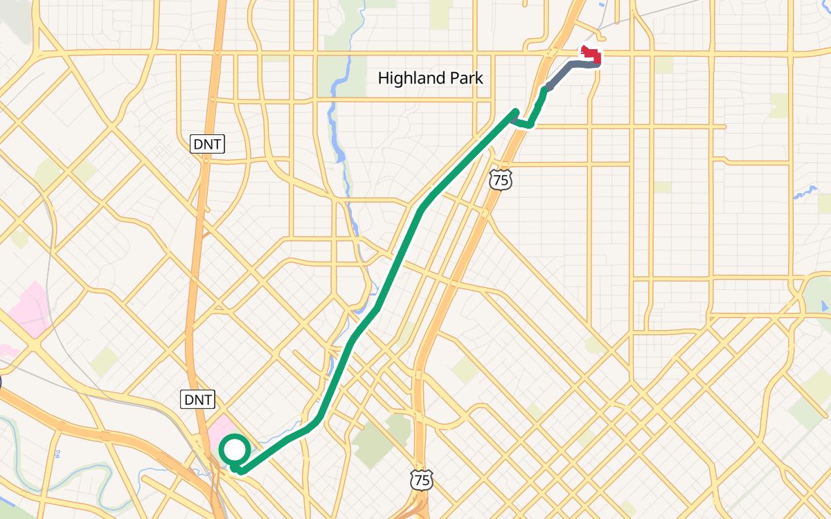
3.5 miles on a former Union Pacific rail line, according to Friends of the Katy Trail, the nonprofit that runs it. Trazo's Katy Trail ride follows it from Reverchon Park, then the University Crossing Trail and nearby streets to Mockingbird Station, and back: 8.3 miles, 95% off busy roads, with 3 crossings of busy roads without a traffic light that Trazo detected (Knox Street each way, and McMillan Avenue), listed on its page.

9.4 MI

White Rock Lake loop

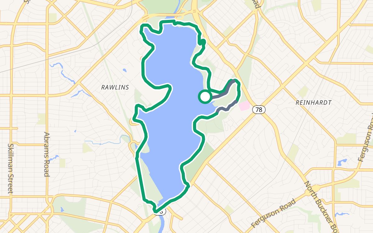
9.4 miles around the lake, according to Dallas Parks, with the Santa Fe, SoPac and White Rock Creek trails branching off. Trazo's White Rock Lake loop rides it from the east shore with 0.7 mile of the SoPac Trail: 10.2 miles, and Trazo detected no busy road to cross without a traffic light.

50 MI

The Loop

A 50-mile circuit around central Dallas joining 39 miles of existing trails with 11 new miles, according to The Loop Dallas; parts are still being built.

Biking in Dallas: common questions

What are good bike rides in Dallas?

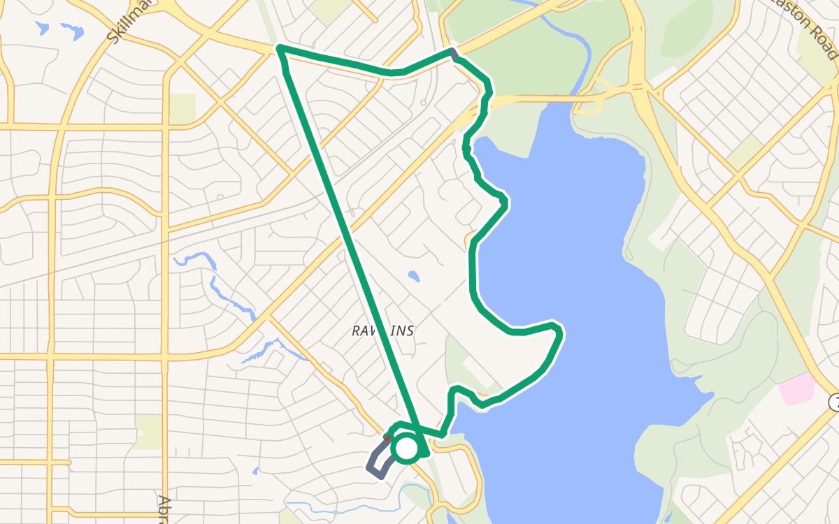
Trazo has 3 rides in Dallas, from 6.1 to 10.2 miles. With kids: the 10.2-mile White Rock Lake loop, 100% off busy roads, where Trazo detected no busy road to cross without a traffic light. Easy rides: a 6.1-mile loop from Lakewood Park on the White Rock Lake, White Rock Creek and SoPac trails, about 33 minutes at an easy pace (2 busy crossings without a light that Trazo detected), and 8.3 miles from Reverchon Park on the Katy Trail, then the University Crossing Trail and nearby streets, to Mockingbird Station and back, about 45 minutes (3, counting each way). Each ride's page names its crossings, restrooms and water.
Where can I bike with kids in Dallas?

The 10.2-mile White Rock Lake loop is 86% on trails and 100% off busy roads, and Trazo detected no busy road to cross without a traffic light; at a child's pace it takes about 1 hour 42 minutes. OpenStreetMap shows water from mile 0.5 and restrooms at mile 1.3. In the Trazo map, choose With kids. Check every route yourself.

Where are restrooms and water on Dallas rides?

OpenStreetMap shows restrooms at mile 1.0 of the Lakewood Park loop, at mile 1.3 of the White Rock Lake loop and at mile 3.6 of the Katy Trail ride, and water within the first mile of each. Summer is hot: Dallas/Fort Worth averages about 20 days a year at 100°F or hotter (National Weather Service, 1991–2020), so start early and carry water.

Why Trazo

What Trazo shows you before you ride

Trazo rates the streets and paths it routes on by how stressful they are to ride, from their road type and bike facilities in OpenStreetMap, and plans the calmest reasonable way.

See what's protected

Trails, lanes and quiet streets are shaded by traffic stress, and a warning triangle marks busy crossings with no light.

Loops by distance

Pick a distance and get loops that bring you back to where you started, as close to it as the paths around you allow.

Busy-crossing alerts

The map flags uncontrolled crossings: busy roads with no signal, where you cross on your own.

Elevation-aware

See the climb before you commit, and flip on “prefer flat” when you (or the kids) aren't in the mood for hills.

How it works

How to plan a calm ride in three steps

Set your start & destination

Search an address, drop a pin, or use your location. Or pick “Loop ride” and just set a distance.

Pick your comfort level

Choose With kids, Relaxed or Anything. Trazo favors protected paths to match, and you can drag the line to add a stop.

Ride it

Follow turn-by-turn with voice cues, see your elevation profile, find pit stops along the way, or export a GPX.

Try it now — it's free →